The History of
Cloverlawn
About
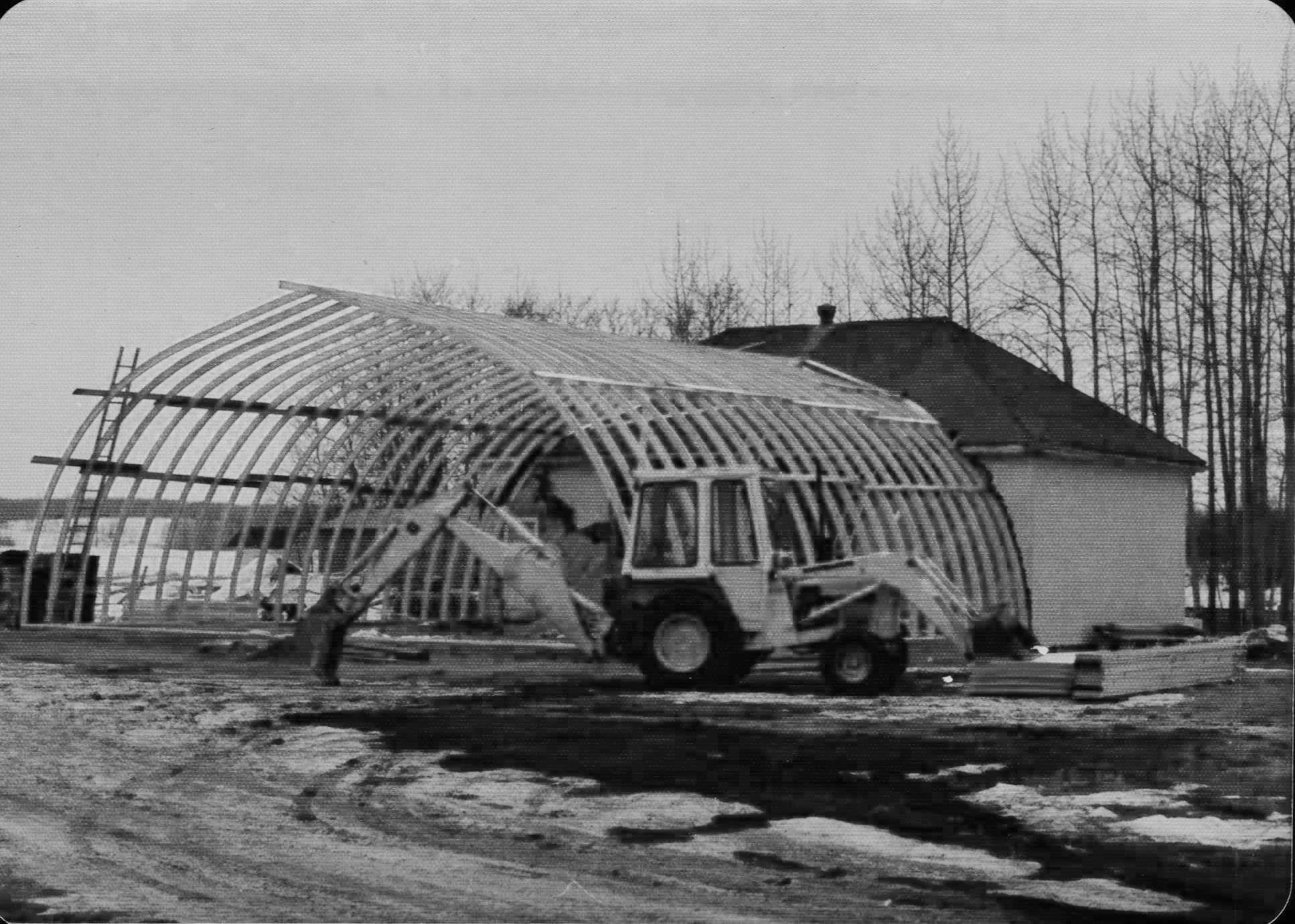
The Cloverlawn Community Centre was built in 1956-57 by a crew of dedicated community members.
SURROUNDING AREA
COAL LAKE


Discover the winding beauty of Coal Lake, it’s north side boat launch and provincial recreation area nestled approximately 4 km southeast of the Cloverlawn Community Centre. This picturesque lake traces its origins back to the dramatic geological events of the last ice age, where the ancient Lake Edmonton once dominated the landscape before its dramatic breach and rapid drainage reshaped the region.
Coal Lake is part of a fascinating glacial meltwater channel that meanders through the landscape, creating a scenic journey from east of Nisku to the tranquil waters of Coal Lake itself. Along the way, you'll encounter enchanting landmarks like Saunders Lake, Ord Lake, and even mysterious unnamed bodies of water, adding to the allure of the journey.
Beginning its journey east of Kavanagh, Alberta, Coal Lake stretches its sinuous path until it reaches its conclusion at a dam just northwest of Gwynne, Alberta. Since the dam's construction in 1972, Pipestone Creek has flowed from the southern end of Coal Lake, eventually draining into the Battle River just southeast of the lake.
Named in 1892 by the intrepid Dominion Land Surveyor J.D.A. Fitzpatrick, Coal Lake owes its moniker to the coal beds that punctuate its northeast shoreline, hinting at the rich history of the land. Venture forth and immerse yourself in the vibrant tale of Coal Lake, where every curve of its shoreline holds beauty.


